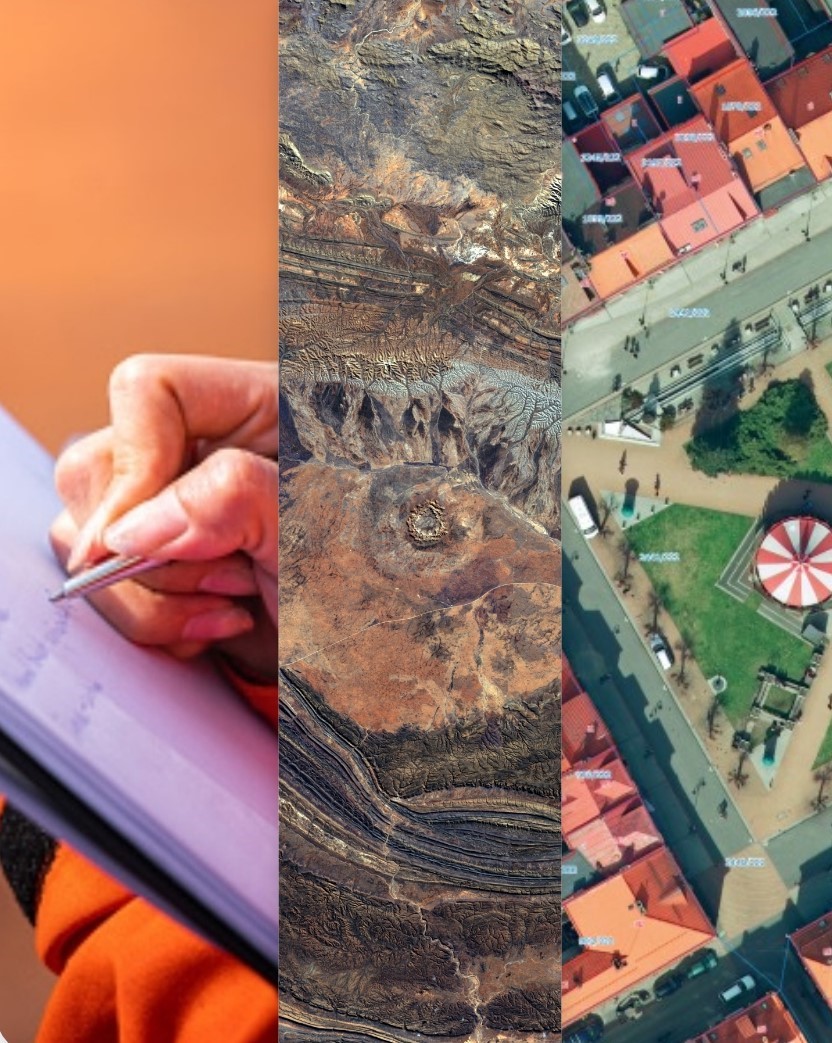
Driven by dedication about Geographic Information System and remote sensing, GeoQode was founded by experts with more than 35 years of experience in the Geospatial field. Their determination drove them to deliver successful and quality projects in the GCC area, Middle East region, and in the African continent. GeoQode’s main milestone is to fulfill the needs of a wide range of clientele throughout their services, targeting both private and public sectors, NGOs and other funding entities.
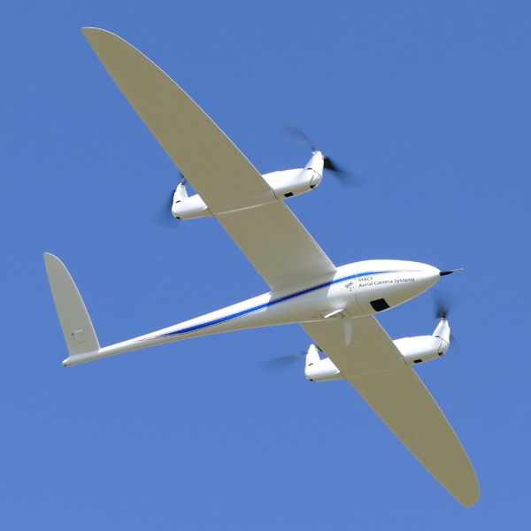
Beside UAV’s aerial acquisition, GeoQode is also specialized in aerial image acquisition using aircrafts with the most advanced equipment and technologies.
Learn More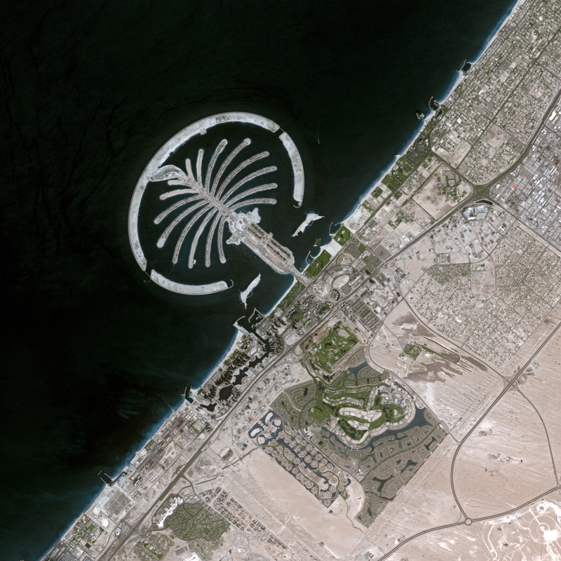
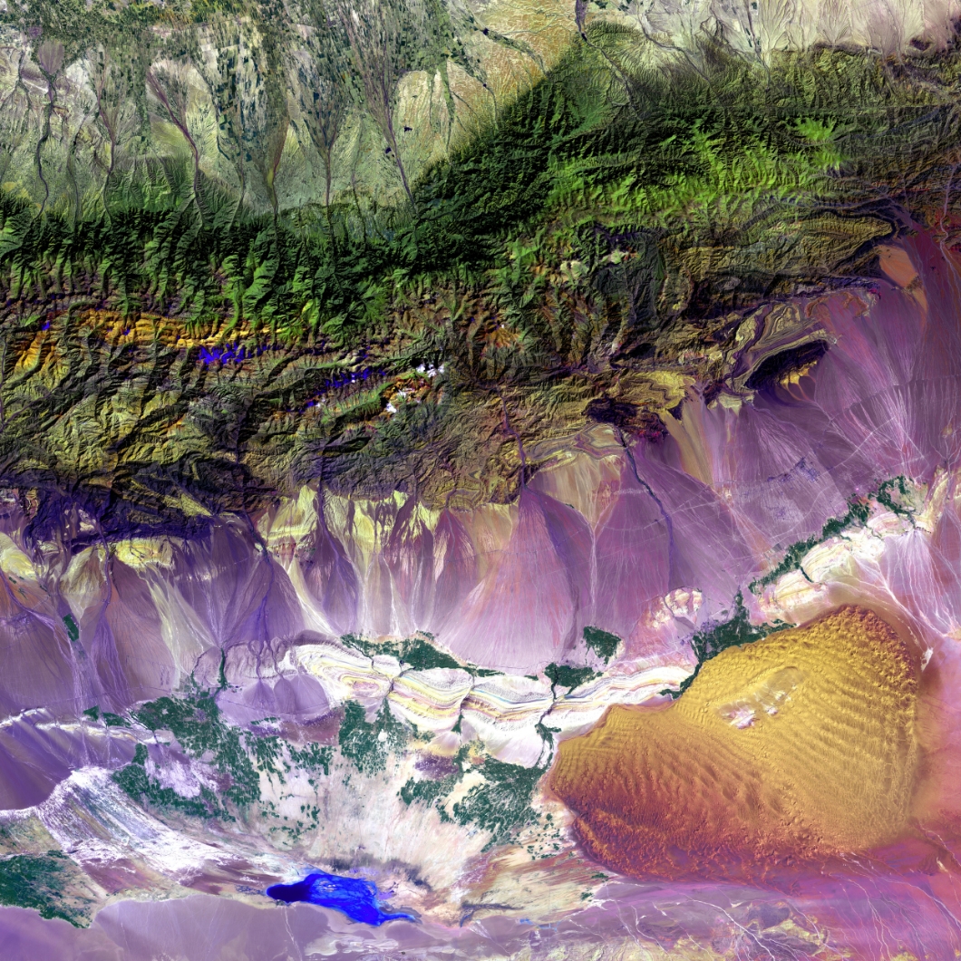
Satellite imagery is a factor changing technology for earth observation and real-life ground condition’s assessment and analysis.
Learn More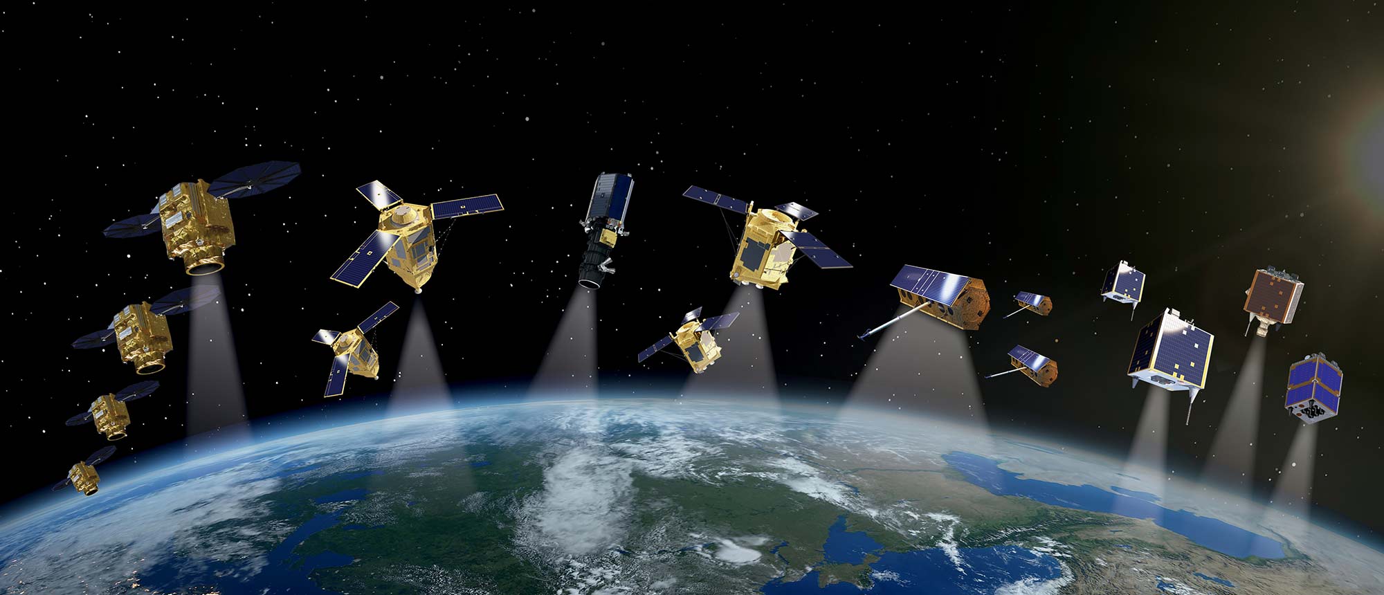
With our highly-skilled staff of photogrammetrists and imagery scientists, we offer our clients a new way to monitor, detect, and classify changes on the area o...
Learn More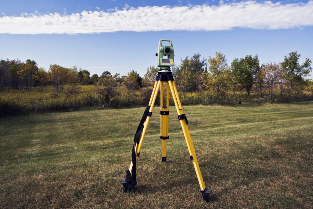
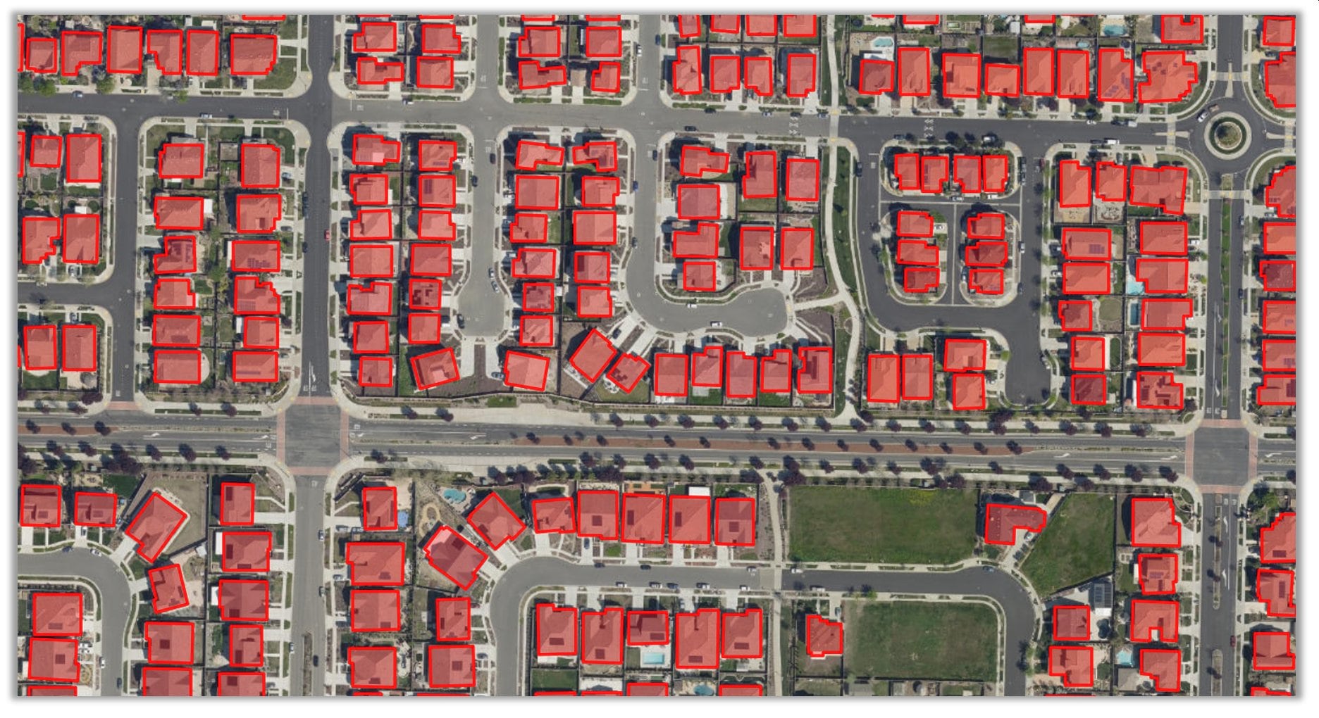
GeoQode provides all kind of surveying services, our experience covers a wide range of industries for topographical, hydrographic, and building surveying servic...
Learn More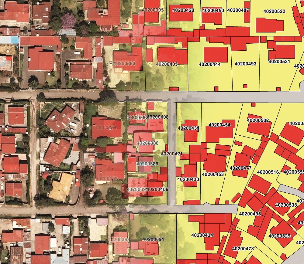
GeoQode provides a modern, professional open software framework for registering, managing and distributing real property objects and related data.
learn more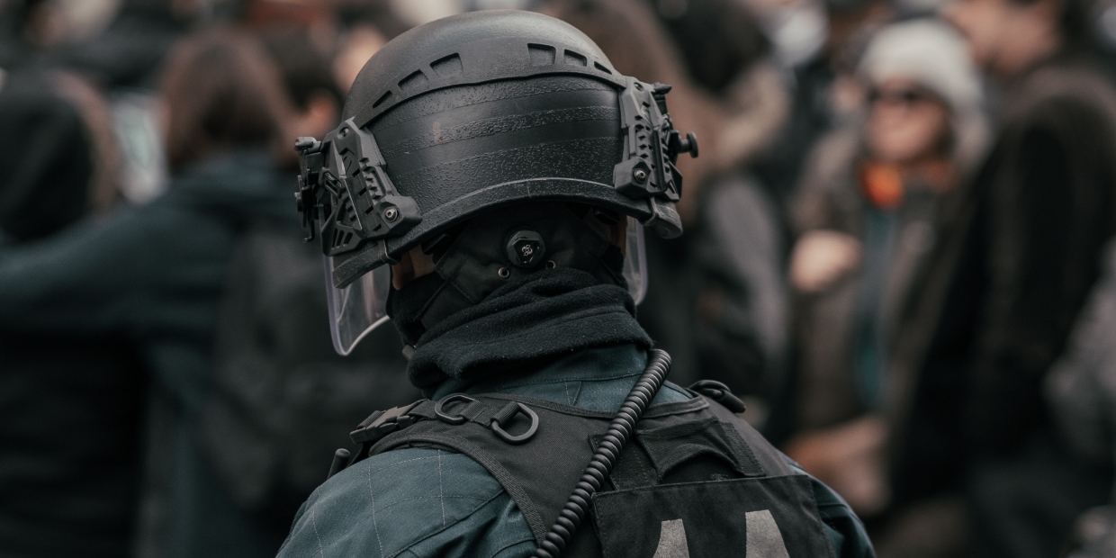
GeoQode provides geospatial applications offering the capability of monitoring, predicting and countering threats, while helping to strategize and sup...
learn more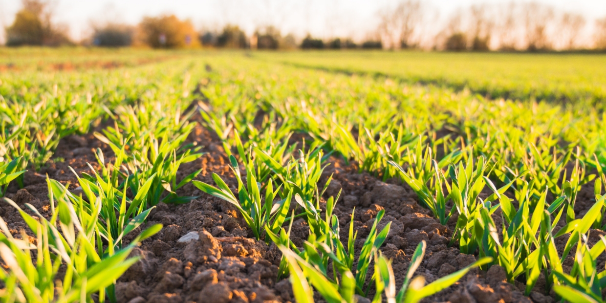
GeoQode offers cutting-edge innovations in agricultural UAV monitoring technology such as the ability to collect digital data to manage crop productio...
learn more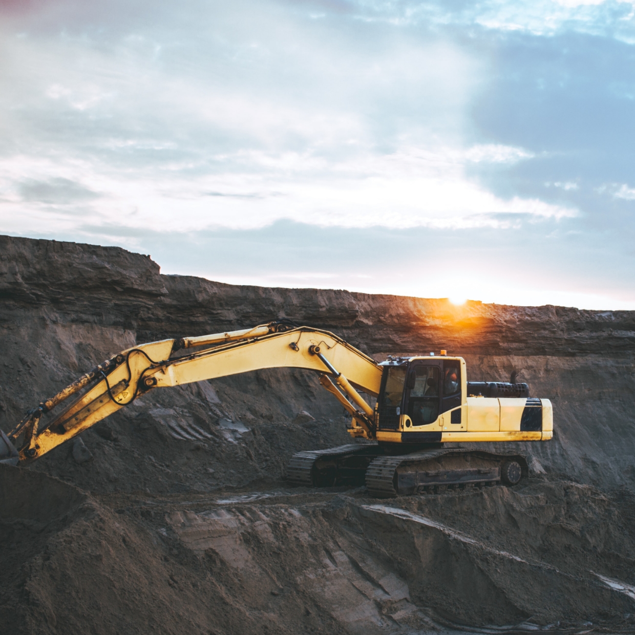
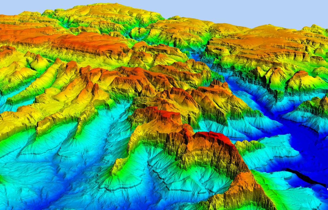
Accurate measurement of the volume and tonnage of extracted ore has always been complicated, time consuming, costly and unreliable. GeoQode’s UAV are...
learn more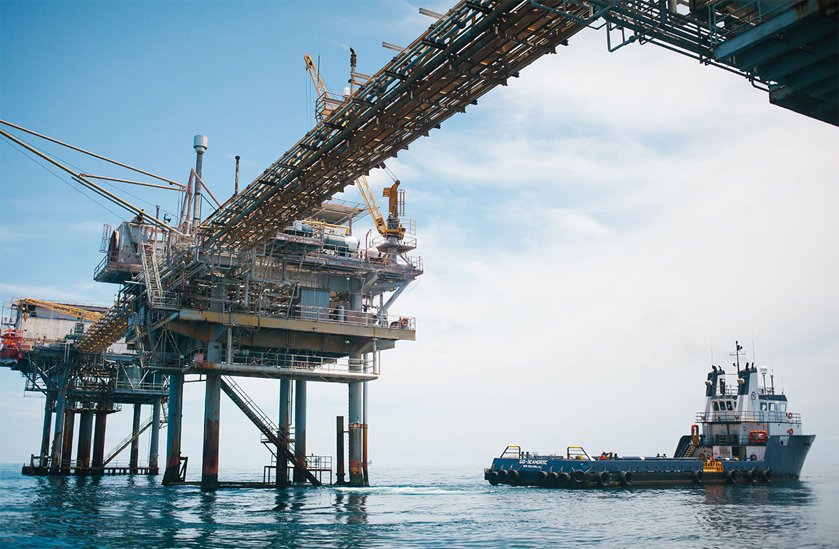
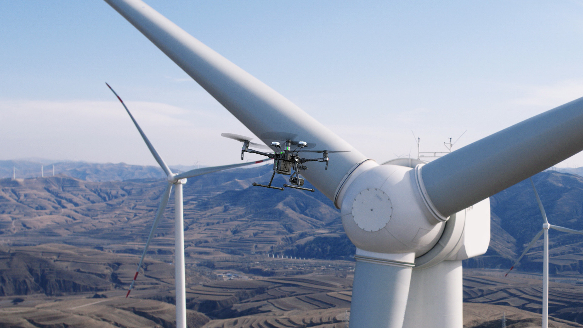
GeoQode provides oil and gas companies services and products that empowers advanced mapping and spatial analytics, increasing operational efficiency t...
learn more
GeoQode provides spatial planning and decision making applications to get visual presentation of different facts in the form of multi temporal maps an...
learn more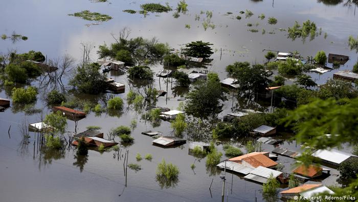
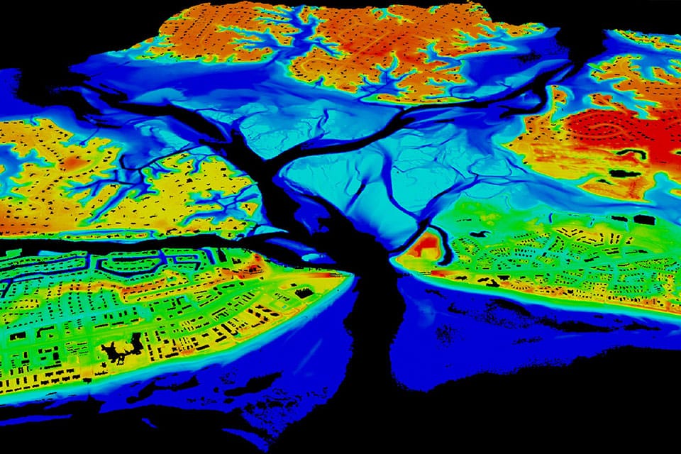
Remote sensing and GIS technologies has become the key tools for flood monitoring and risk assessment in the past decades.
learn more