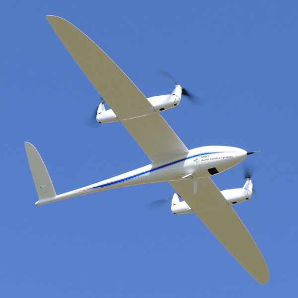
Beside UAV’s aerial acquisition, GeoQode is also specialized in aerial image acquisition using aircrafts with the most advanced equipment and technologies.
Learn More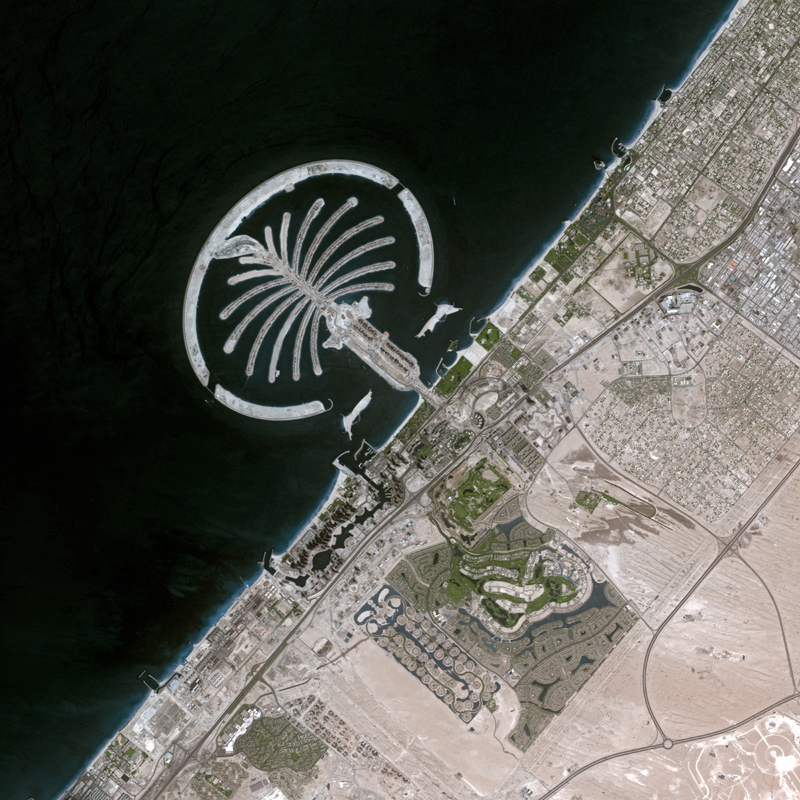
Satellite imagery is a factor changing technology for earth observation and real-life ground condition’s assessment and analysis.
Learn More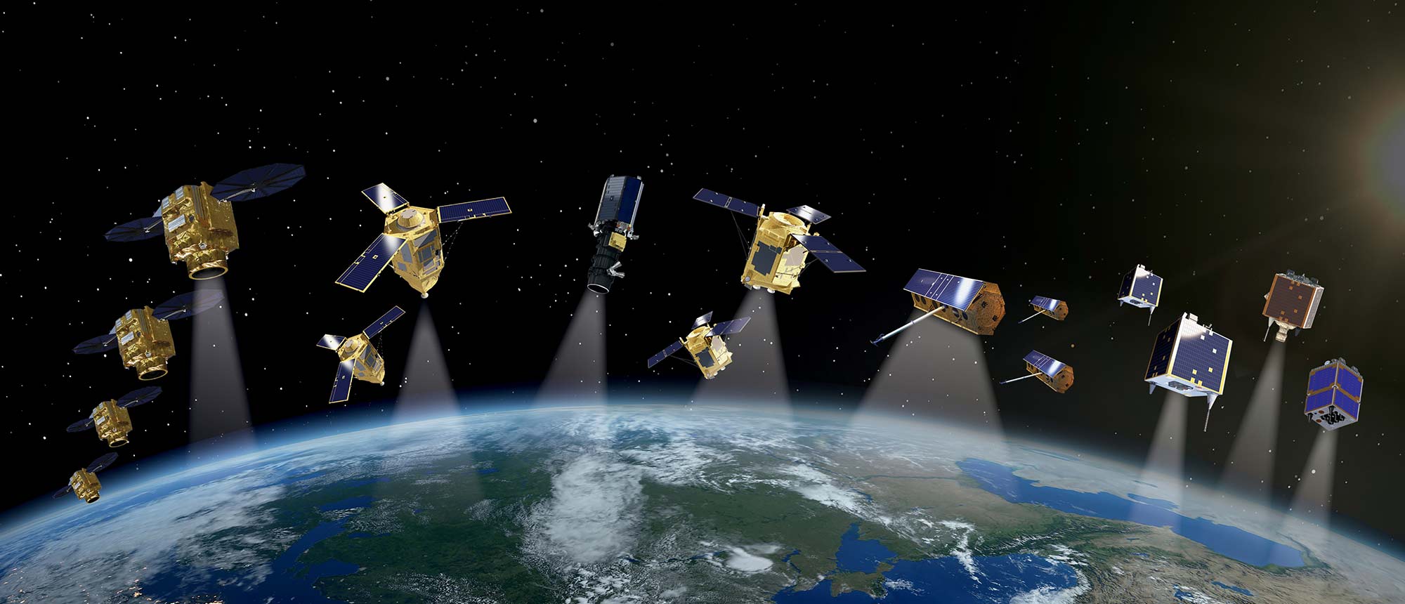
With our highly-skilled staff of photogrammetrists and imagery scientists, we offer our clients a new way to monitor, detect, and classify changes on the area o...
Learn More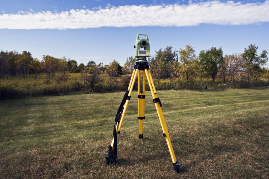
GeoQode provides all kind of surveying services, our experience covers a wide range of industries for topographical, hydrographic, and building surveying servic...
Learn More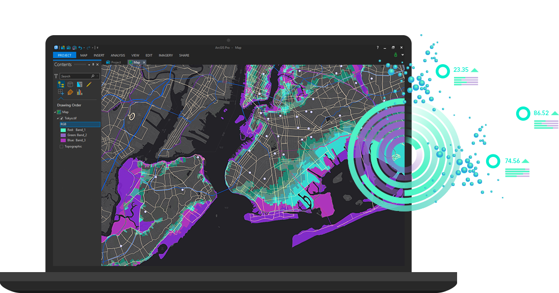
GeoQode has an extensive experience of developing GIS applications on top of Esri product or any other open source technology for the purpose of collecting, edi...
Learn More
GeoQode provides GIS, remote sensing, UAV and after sale training. Our instructors are certified trainers and they all have university degrees in GIS and remot...
Learn More
Geospatial science, data, and technologies are vital components needed in many verticals and industries
Learn More
