About
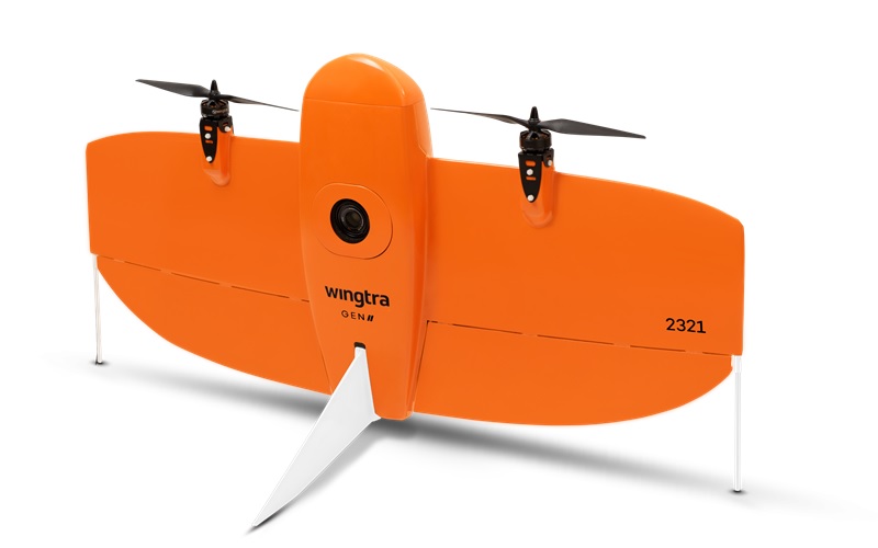
UAV Community
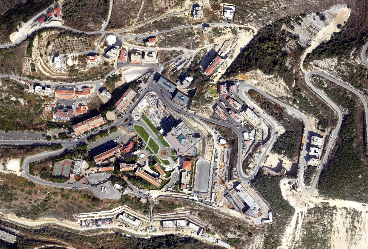
UAV Aerial Survey
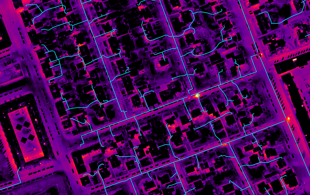
Thermal imaging
Lidar
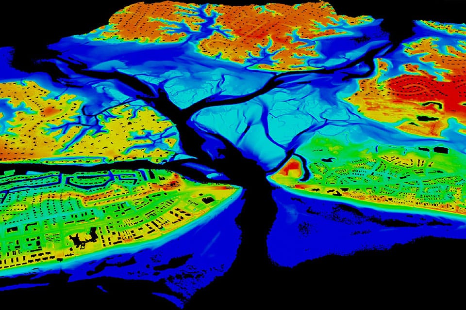
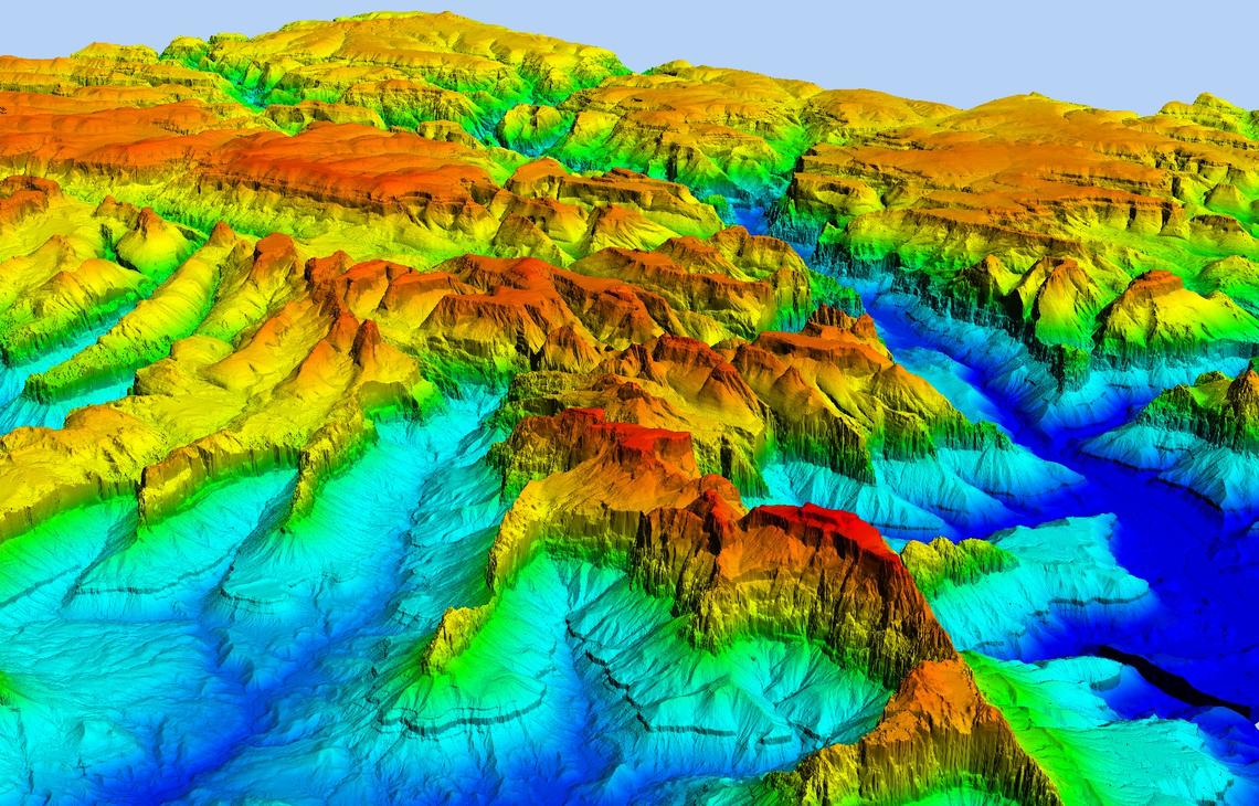
Elevation Data
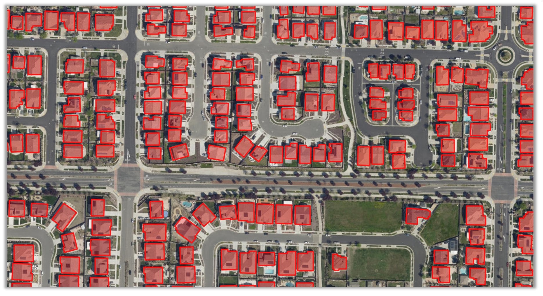
Feature extraction
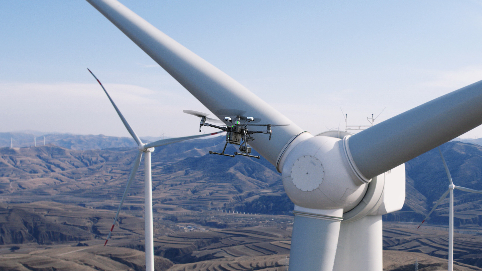
Inspection
Ortho/true ortho
Services
Aircraft Aerial imagery
GIS/Geospatial
Satellite imagery
Remote Sensing
Ground Survey
GIS Application
Training
Markets
Cadastre and land registration
Defense and security
Agriculture and forestry
Mining
Oil and Gas
E-governance
Flood Risk Assessment
Contact Us
About
UAV Commmunity
Services
Markets
Contact Us
UAV Community
Lidar
Elevation Data
Feature extraction
Inspection
Ortho/true ortho
UAV Aerial Survey
Thermal imaging