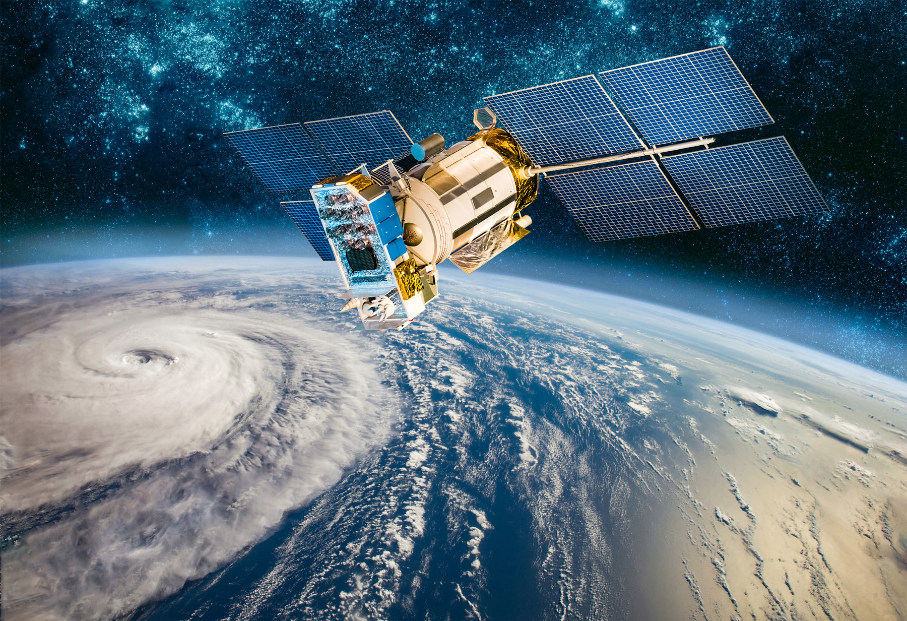
With our highly-skilled staff of photogrammetrists and imagery scientists, we offer our clients a new way to monitor, detect, and classify changes on the area of study.

Our remote sensing specialists collaborate together to apply remote sensing technologies including unmanned aerial systems (UAS), photogrammetry, LiDAR, Baltimetry and satellite imagery along with ground control surveys to generate accurate and reliable data and products.