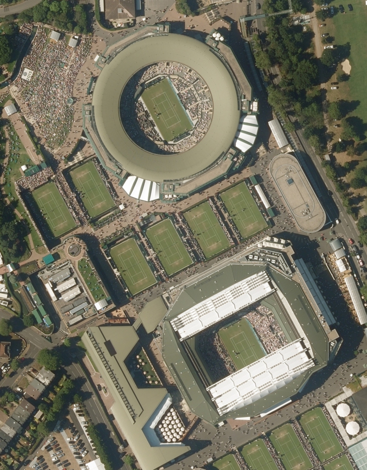
Beside UAV’s aerial acquisition, GeoQode is also specialized in aerial image acquisition using aircrafts with the most advanced equipment and technologies.

GeoQode employs a skilled air crew on special flights which can fulfill the clients’ demands at the highest professional level along with experimented GIS, photogrammetry and remote sensing teams for processing and production.