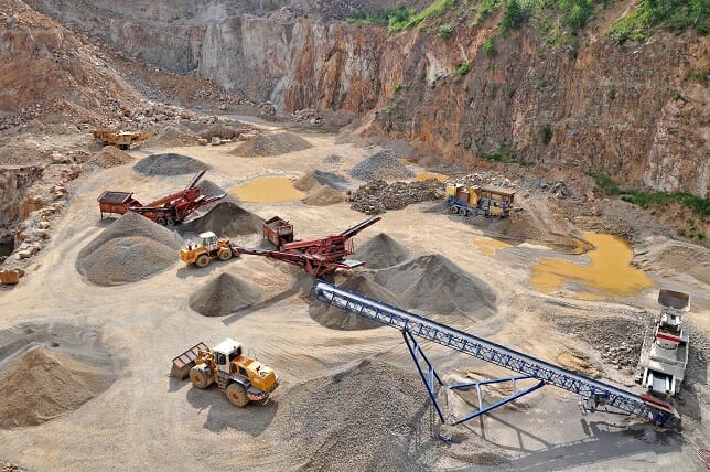
Accurate measurement of the volume and tonnage of extracted ore has always been complicated, time consuming, costly and unreliable. GeoQode’s UAV are able to rapidly capture stereo imagery of open pit mines and their surroundings without the labor inefficiencies and safety issues normally associated with traditional volumetric surveys.