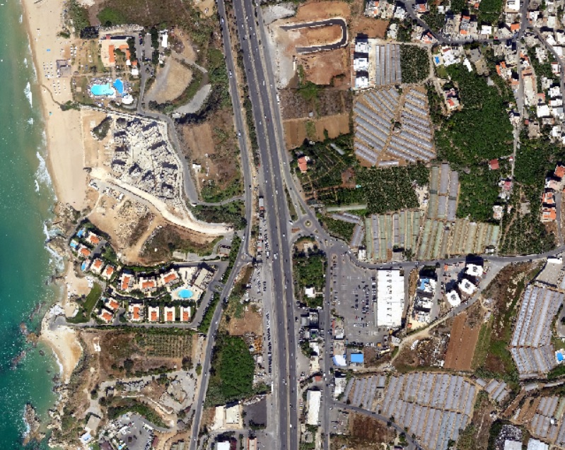
Satellite imagery is a factor changing technology for earth observation and real-life ground condition’s assessment and analysis.

Whether you need a foundational map for an app or a comprehensive dataset for business intelligence, being partners with the most reputed satellite imagery providers, GeoQode offers a wide range of satellite imagery with various resolution for various application ranging from 30cm to 30m.