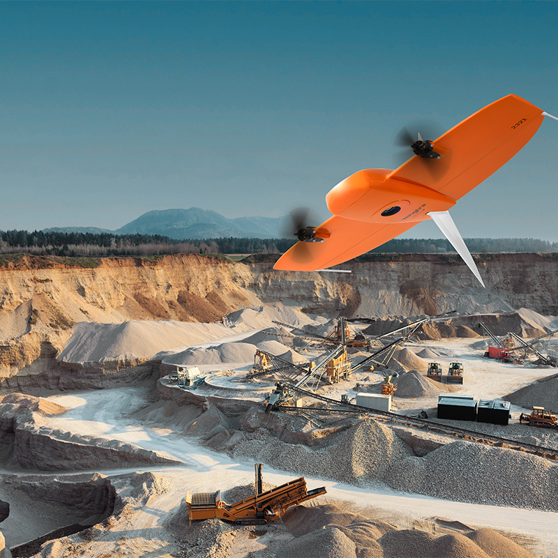
GeoQode can offer aerial Real Time Kinematic (RTK) UAV solutions in difficult to reach or hazardous locations. Our survey-grade aerial platforms are equipped with GPS receiver systems and effectively become flying rovers, capable of receiving data corrections streamed from a base station or via VRS to achieve absolute X, Y, Z accuracy of down to 3 cm – without the need for Ground Control Points.


What you should know

A final important consideration is that less time spent on the ground minimizes risk to survey crews when measuring sites such as mines, hazardous sites and nearly impossible to access terrain.A revolution in rapid and efficient aerial imagery acquisition has been made possible by GeoQode's UAV technology. Clients can now focus on processing and analyzing data, rather than working out how to gather it.
Our clients appreciate that large jobs that once took weeks can now be completed in just a few days, and that a week’s worth of traditional survey data collection can now be achieved in one day or even less.