What you should know
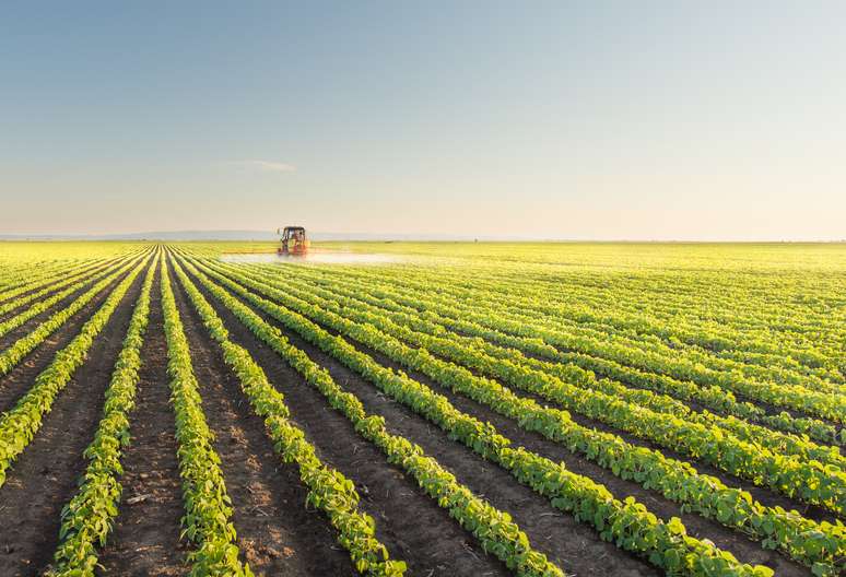
GeoQode provides an opportunity to monitor hundreds of hectares without the mobilization costs of a manned aircraft. By using multispectral imagery and GIS mapping, farmers have the ability to analyze the true health of their crops and identify yield limiting situations before they become major problems.
Famers and investors will be able to: